Category: Montessori, Wonder Wednesday
Happy Wonder Wednesday 38!!!
October is a busy month with so many festivals and outdoor fun to be had, but I hope you’ve had a few minutes to sit quietly and enjoy the changes happening seasonally within and without as we prepare for the darker and colder months of out earthly cycle.
This month, in the spirit of all the festive fun, I was inspired to create a collaborative Wonder Wednesday project!
Depending on your situation, this project could be done to explore geography, seasons, time, and nature-study with a full class, a few children, or even at a party or at a family holiday celebration! Let’s jump in!
Wonder Wednesday 38:
Place Based Collaborative Mapmaking
Materials:
Paper on a roll, 36 or 48 inches, in a light color
Pencils
Markers
Masking tape, I like 2 inch
Optional:
Local field guides
Local topography maps (with older children)
10 minute sand timers

Preparation:
Decide how long you would like for the drawing to be and cut your paper to that length.
Tape the drawing to the wall or to the floor. Set up a basket of drawing tools and if you are using them baskets of field guides and topography maps.
If you are working with younger children, or it is the first time doing any sort of map making activity, you may want to lay in some geographic parameters. I put in the water boundaries and major landforms (beach, dunes, marsh) to help the children orient themselves within the drawing.

Procedure:
Start a dialogue with the children about the nature in your place. Ask what they love about the nature and land. Get them thinking about the big and the small: landscape features, creatures big and small and their habitats, and flora specific to the zones in your area.
(For example: we spoke about the diverse features on our barrier island from the eastern beach habitats to the western marsh habitats to the northern river boundary and where the people live in between. Don’t forget to put yourself and the places humans frequent like school, home, farmers markets gardens, & parks, into the landscape!
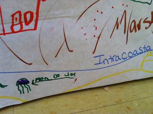
Once they show an understanding of the land, ask about how the land and it’s creatures change with time. Since we are in fall, we talked about the different animals that migrate through in the ocean and beach, how the wind increases in fall, how the ocean is changing in temperature as well as the color and roughness, and what new seasonal veggies we are planting in the garden.
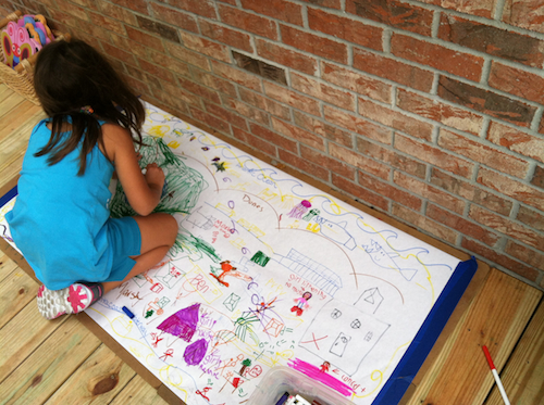
Now explain the collaborative map drawing activity. (Define collaborative too if needed.) For example: Together, we will be creating a map of the places we love in our landscape. What features and creatures do you especially love that should be represented? We will all be drawing together and adding on to each others drawings, so it is important to be respectful of each other’s work while drawing.
If you have laid out some geographic boundaries, explain those and if you haven’t set up north so the children can orient the map and their drawings. If you are offering topographic maps you may want to do a quick lesson on reading and referencing those if they are unfamiliar. If you are offering field guides, explain how the children could use them as references to draw local flora and fauna and to get ideas of the specific names of the plants and animals in the area.
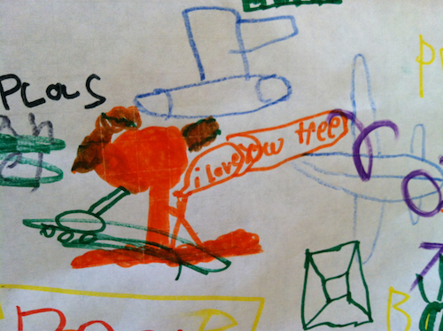
Let them draw. This activity works great as an independent work set up with timers. I do recommend having an adult check in to make sure the children remember that they are drawing mainly the nature of the area with favorite man made locations like home, school, and parks added in between. Having an adult stationed at the activity could definitely help keep the map more organized, but as a first go, it is nice to let the children have at it in their own way.
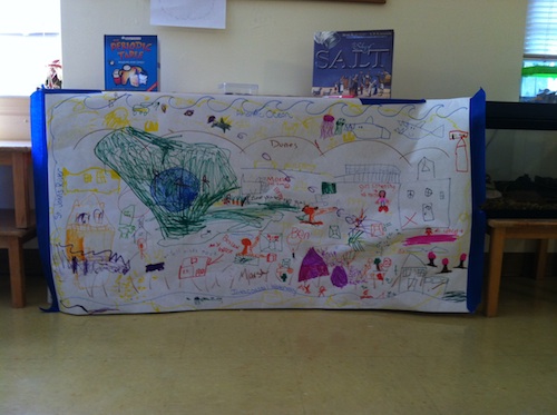
Talk about it. Once the drawing is complete, later in the day or the next day, bring the drawing to a place where everyone can look at it and review. Point out specific elements that were added and let those contributors explain their thinking. Talk about the geographic elements and their positions. Talk about successes in the map and things that could be done differently, or more specifically next time – without singling out any one drawing of course.
Get the students considering their landscape and why they love particular elements of it. This will help them visualize the land and their place, roles, and contributions within it. This allows them to begin to apply their mapmaking experience to their actual lives and experiences in the landscape.
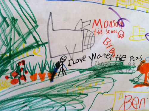
Place based educator David Sobel stresses the importance of children having a connection to and understanding of their place in and on the land if they are to become environmentally responsible adults. Getting children involved in map making while also placing themselves within the map is a great first step!
If you are doing this with multiple generations, open up developmentally appropriate discussions with stories of the land ways it has changed and evolved over the years.
How could you do this activity with the children in your life or how have you dome something similar?
What elements of place do you think would be showcased?
Share in the comments below & share your maps on Instagram #wingswormsandwonder
Seeds to Sprout:
Check out the awesome book Mapmaking with Children: Sense of Place Education for the Elementary years by David Sobel for lots more ideas! I love this book!
Spend your days with 3-6 year olds? Check out this blog post on map making with preschoolers. It also draws from Sobels book.
Learn more about the importance of place connection in childhood in this research article from the Canadian government “Drawing on Children’s Sense of Place” by Dr. David Hutchinson of Brock University .
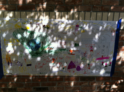
I think doing this activity outdoors is especially nice.
Comments are closed.